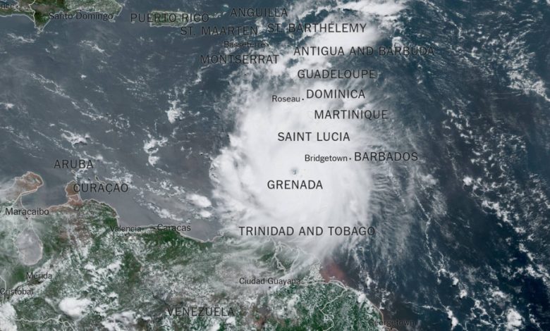
Why Beryl Is a Bad Sign for This Year’s Hurricane Season

Hurricane Beryl rapidly intensified from a tropical storm to a Category 4 hurricane in two days as it rushed toward the Caribbean this weekend, increasing its wind speed by 45 miles per hour daily.
This quick escalation was a direct result of the above-average sea surface temperatures as well as a harbinger of what is to come this hurricane season.
“This early-season storm activity is breaking records that were set in 1933 and 2005, two of the busiest Atlantic hurricane seasons on record,” said Philip Klotzbach, an expert in seasonal hurricane forecasts at Colorado State University.
Last fall, a study in the journal Scientific Reports found that Atlantic hurricanes from 2001 to 2020 were twice as likely to grow from a weak storm into a hurricane of Category 3 or higher within 24 hours than they were from 1971 to 1990. The study added to a growing body of evidence that rapidly developing major hurricanes were becoming more likely.
Andra Garner, an assistant professor of environmental science at Rowan University in New Jersey and the author of the paper, called the findings an “urgent warning.”
A hurricane that intensifies faster can be more dangerous, as it allows less time for people in areas projected to be affected to prepare and evacuate. Late last October, Hurricane Otis moved up by multiple categories in just one day before slamming into Acapulco, Mexico, as a Category 5 hurricane that killed at least 52 people.
